Our services.
Surveying & Cornerstones
First and foremost, we are Land Surveyors. We perform boundary surveys of residential, agricultural or commercial land. We do ALTA surveys, topographic surveys, site layout and design. Our particular specialty is section corner perpetuation, which we do at this time under contract with the Boone County Surveyor’s Office. Jim Swift is a Professional Registered Land Surveyor in the State of Indiana with 27 years experience built upon a Bachelor’s Degree in History and a Master’s Degree in Geomatics. No survey challenge is beyond us, given the time and resources to tackle it. For complex site design, we may contract with a Civil Engineer. For equipment and software we use Topcon GPS and Robotic Total Station powered by Carson SurvPC and Carlson Survey. Call us and we will be glad to survey your site.
Land Consulting
Long ago, Jim Swift realized that a friendly, well informed Land Surveyor may be asked many questions pertaining to land, property and surveying. Be it a question about the description in a deed, a question about local ordinances and design criteria, or a question about how to harness available resources to meet one’s needs, opportunities abound to inform people about survey related matters. Not all inquiries lead to a full survey. Sometimes an honest opinion or a basic review of the situation is satisfactory. We can help. We are glad to review any survey related situation. If it is beyond our technical or statutory competence, we will say. If the situation requires a full survey, we will sure say that too! Call us with your question and we will be glad to consult.
Drone Photography
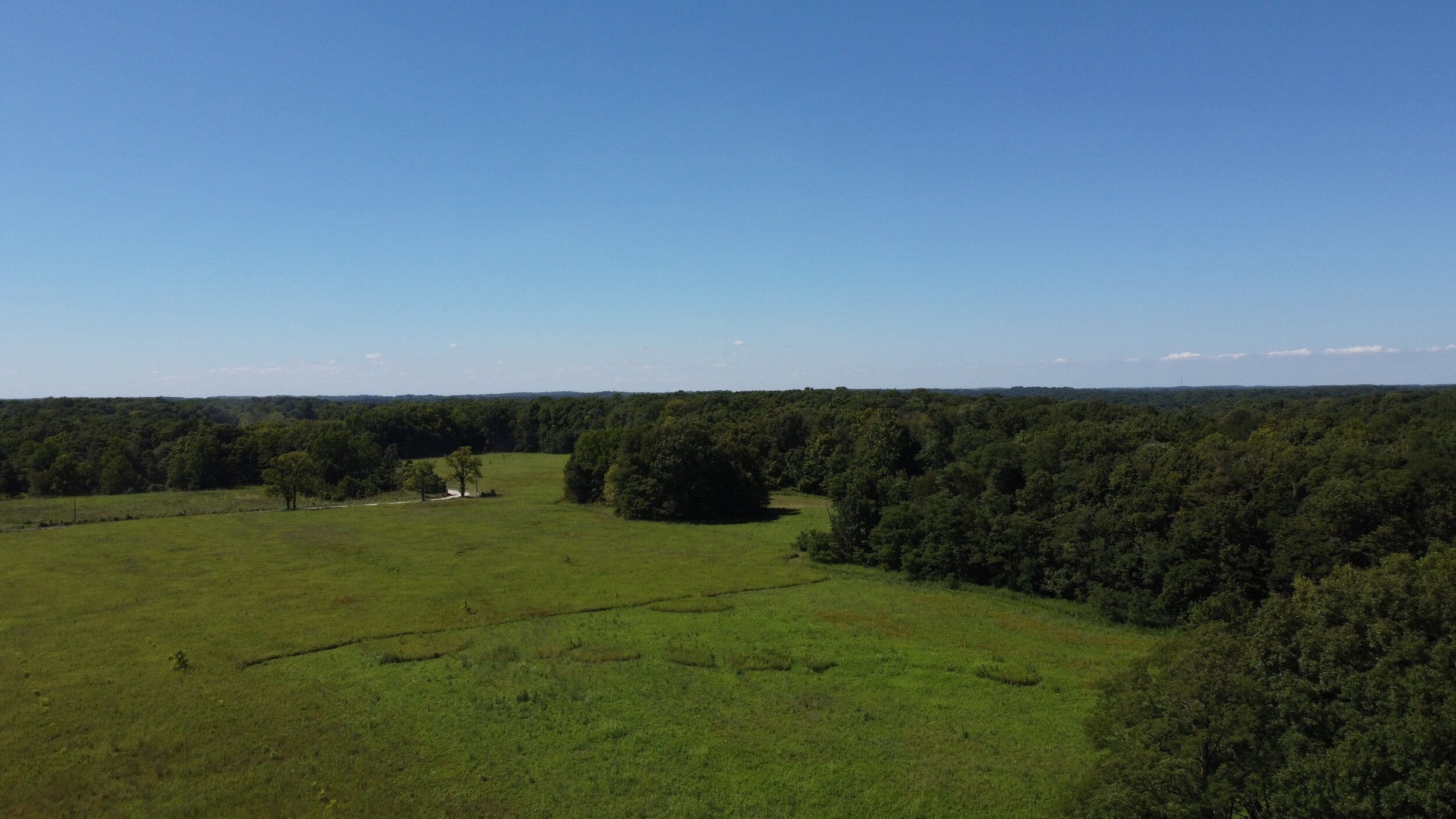
This is a wonderful time to be a geospatial professional. Emerging technologies yield new opportunities. Jim and Henry Swift are both technically inclined and are quite handy with our drone. Jim is an avid land-based photographer with high-level training in photogrammetry and years of experience scaling and rotating maps and imagery to the actual situation on the ground. Henry Swift is a sharp young man of the generation for whom activities like flying drones come as a natural and native talent. Those childhood video games were full of value after all! We are just getting started as professional drone photographers, but we have the gear, know-how and passion to produce impressive and useful products. We are glad to deploy the drone for matters of survey, general interest or aerial-based art. Call us and we’ll come photograph your scene from down low and up high.


