

Old Maps
1681
This map shows Northern and Southern parts of the United States. It shows the Mississippi River (Colbert River) to the mouth of the Ohio River.
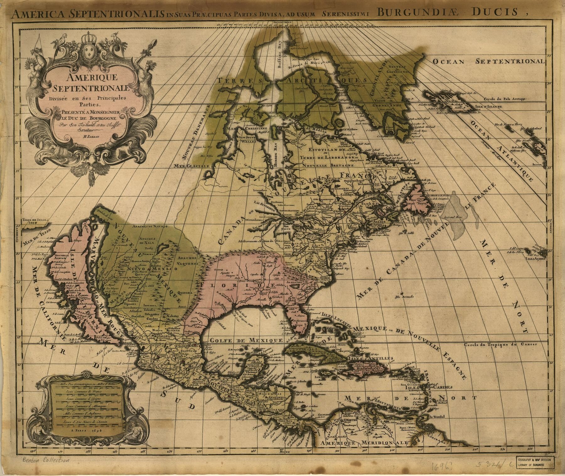
1694
North America divided into segments labeled Florida, New Mexico, Canada or New France.

This map shows Northern and Southern parts of the United States. It shows the Mississippi River (Colbert River) to the mouth of the Ohio River.
North America divided into segments labeled Florida, New Mexico, Canada or New France.